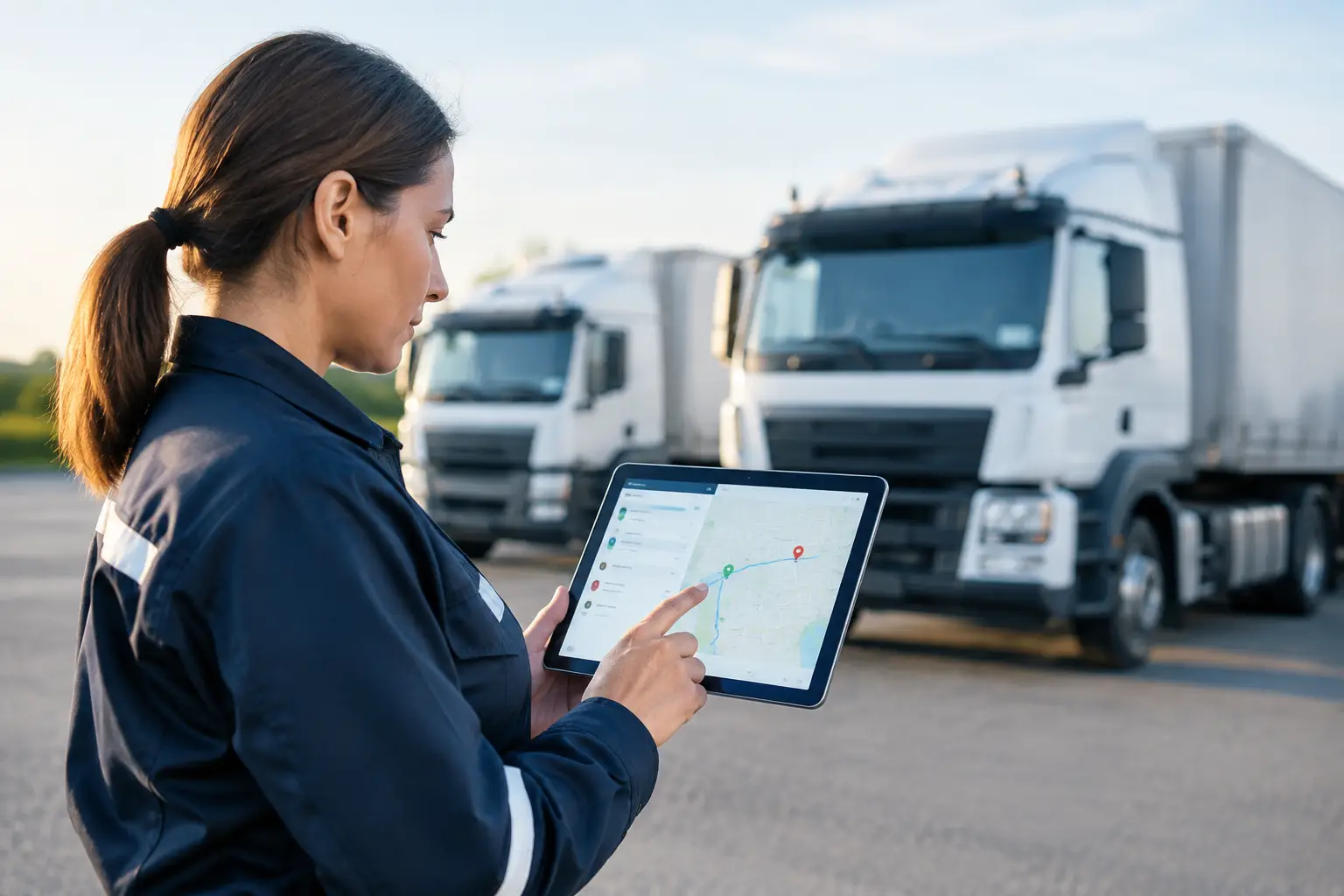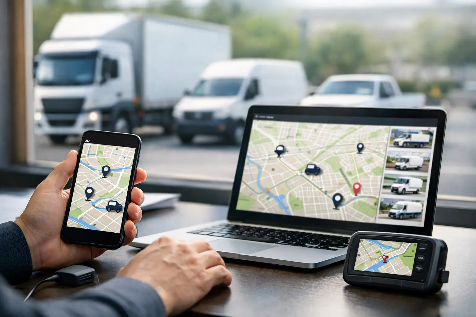
A missed delivery window, an unaccounted-for plant asset or a driver delayed at a job can quickly become an expensive operational problem. GPS fleet tracking gives fleet teams a live, factual view of where vehicles and equipment are, what they are doing and where attention is required. For Australian operators managing heavy vehicles, mobile crews and dispersed worksites, that visibility needs to support decisions, not simply place dots on a map.
The strongest systems connect location data with vehicle activity, driver behaviour, safety events and compliance workflows. This changes fleet tracking from a passive reporting tool into an operational control layer for the business.
What GPS fleet tracking should show you
Basic tracking can confirm that a vehicle is moving, stopped or parked. That has value, but it rarely answers the questions an operations manager needs to resolve during a busy shift. Is the truck waiting at a site, caught in traffic, idling unnecessarily or operating outside its planned area? Has a trailer been left at the correct location? Is a plant item being used after hours?
A well-configured fleet platform brings these answers together through live vehicle location, trip history, geofences, ignition status, utilisation data and alerts. Depending on the vehicle and hardware fitted, it may also capture speed, harsh driving events, engine data, power take-off activity and auxiliary equipment status.
For concrete, waste, construction and heavy transport operations, context is everything. A concrete agitator stopped at a batch plant is different from one stopped unexpectedly with a loaded drum. A waste collection vehicle paused in a service zone may be completing its run, while the same pause outside its designated route could require follow-up. GPS data becomes useful when it reflects the work the asset is meant to perform.
Live visibility is only the starting point
Real-time visibility helps dispatch and customer service teams respond with confidence. When a customer calls for an arrival update, staff should not need to phone the driver, wait for an answer and relay an estimate based on guesswork. They should be able to see the vehicle’s latest position, direction of travel and recent activity.
This can also improve daily allocation. If one crew finishes early, the nearest suitable vehicle may be reassigned to an urgent job. If a route is disrupted, planners can make a practical decision before delays compound across the schedule. For businesses with trailers, bins, generators, plant and marine assets, tracking non-powered equipment can reduce time spent searching for assets and improve utilisation planning.
However, live maps alone do not fix poor processes. Alert volumes must be controlled, geofences need to match actual sites and staff need clear responsibility for responding to exceptions. An alert that nobody owns is noise. A concise exception queue, reviewed by the right person at the right time, is far more valuable.
Geofences that support real work
Geofencing creates a virtual boundary around a depot, customer site, quarry, landfill, work zone or restricted area. Entry and exit records can establish arrival and departure times without relying on manual timesheets or paper dockets alone.
The best geofence design is practical. A boundary around a large construction project may need to account for multiple gates, site compounds and nearby roads. A boundary that is too tight can generate false events; one that is too broad can make reports meaningless. Reviewing the first weeks of data with supervisors is usually necessary to fine-tune site definitions.
Geofences also provide a useful control for unauthorised use. After-hours movement, entry into restricted locations or a vehicle leaving a defined operating region can trigger an immediate notification. The appropriate response varies by fleet - it may be a phone call to the driver, escalation to a supervisor or investigation by the security team.
Turn driver data into safer decisions
GPS fleet tracking can support safer driving when it is used fairly and consistently. Speeding, harsh braking, harsh acceleration, sharp cornering and extended idling can point to risk, but individual events need operational context. A harsh braking event may indicate following distance, a sudden traffic hazard or a poorly calibrated threshold.
The aim is not to create a scoreboard for punishment. It is to identify patterns, coach drivers early and investigate serious events with reliable evidence. When telematics is paired with AI driver camera technology, managers can review the circumstances of a fatigue, distraction or collision-risk alert rather than relying solely on a data point.
This approach protects drivers as well as the business. It can help validate that a driver acted appropriately when an incident occurs, while providing a clear basis for targeted training where behaviour needs to change. Safety teams should establish transparent policies covering what is monitored, how footage and data are accessed, retention periods and how coaching is managed.
Build compliance evidence as work happens
For heavy-vehicle operators, fleet data must often do more than improve dispatch. It needs to contribute to Chain of Responsibility obligations, fatigue management, mass compliance and audit readiness. The practical value lies in replacing fragmented records with information that is time-stamped, attributable and available when required.
A tracking platform can support compliance workflows by recording vehicle movements, site attendance, route history and operational exceptions. When integrated with electronic work diaries, onboard mass systems, pre-start checks and defect reporting, it gives compliance teams a more complete picture of what occurred on the road and at the worksite.
That does not mean telematics automatically makes a business compliant. Policies, training, supervision and correct system configuration still matter. Data must be reviewed, exceptions investigated and records retained in line with the organisation’s obligations. Technology provides evidence and prompts action; management systems provide the discipline behind it.
For fleets operating under HVNL requirements, this distinction is critical. A compliance solution should align with the business’s actual operating model, including subcontractors, depot workflows, remote work and the types of vehicles in service. A generic system that forces people into workarounds can create more risk than it removes.
Measure the costs hidden in daily activity
Fleet costs often rise through small, repeated events rather than a single large failure. Excessive idling, unnecessary travel, unauthorised use, poor route adherence and avoidable overtime can all be identified through consistent tracking data.
The key is to select measures that connect to a business outcome. A transport operation may monitor kilometres per job, dwell time and route deviations. A construction business may focus on plant utilisation, idle hours and movement between sites. A waste operator may assess run completion, missed service areas and vehicle time at transfer facilities.
Overtime is a useful example. Tracking data can show whether additional hours result from genuine workload, unrealistic scheduling, delays at customer sites or inefficient dispatch. One Netcorp customer documented a 40% reduction in overtime after gaining better visibility of fleet activity and work allocation. Results will vary by operation, but the principle is consistent: accurate activity data makes cost conversations more specific and actionable.
Choose an integrated platform, not another data silo
Many fleets already have separate systems for tracking, cameras, compliance forms, maintenance and IT support. Adding another standalone product may improve one process while increasing the administrative burden elsewhere. Before selecting a GPS fleet tracking provider, assess how data will be used across dispatch, safety, compliance, payroll, maintenance and management reporting.
Ask practical questions. Can the platform track trucks, trailers and plant within one environment? Does it support the required heavy-vehicle compliance workflows? Can alerts be configured to match your sites and operating hours? Is hardware suitable for harsh vehicle and plant environments? Who installs, supports and replaces devices when issues occur?
Local delivery matters when fleets operate across depots, regional areas and demanding worksites. Netcorp provides an Australian-designed and supported platform, with in-house hardware and Sydney-based expertise across telematics, compliance and managed technology services. For complex operations, clear ownership from deployment through to ongoing support can reduce the risk of disconnected systems and unresolved faults.
Start with the decisions you need to make
The best implementation begins with operational questions, not a device count. Identify the decisions that currently depend on phone calls, manual spreadsheets or assumptions. These might include locating the nearest available vehicle, verifying time on site, responding to safety events, proving route completion or accounting for plant utilisation.
Set a baseline before changing processes. Record current overtime, idle time, response times, route exceptions, safety incidents or utilisation levels. Then introduce the platform in stages, validate data quality and train supervisors to act on the information. A phased approach is often more effective than attempting to redesign every workflow at once.
GPS fleet tracking earns its place when the depot, the road and the back office are working from the same operational facts. That gives managers more time to prevent delays, support drivers and keep vehicles, assets and compliance obligations under control.