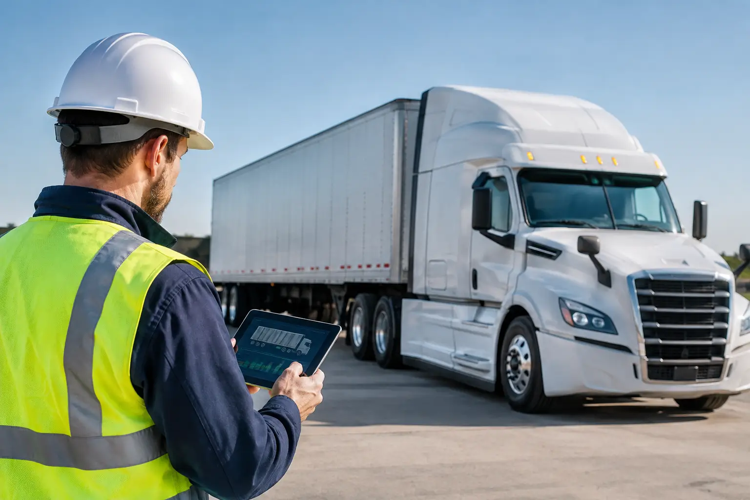
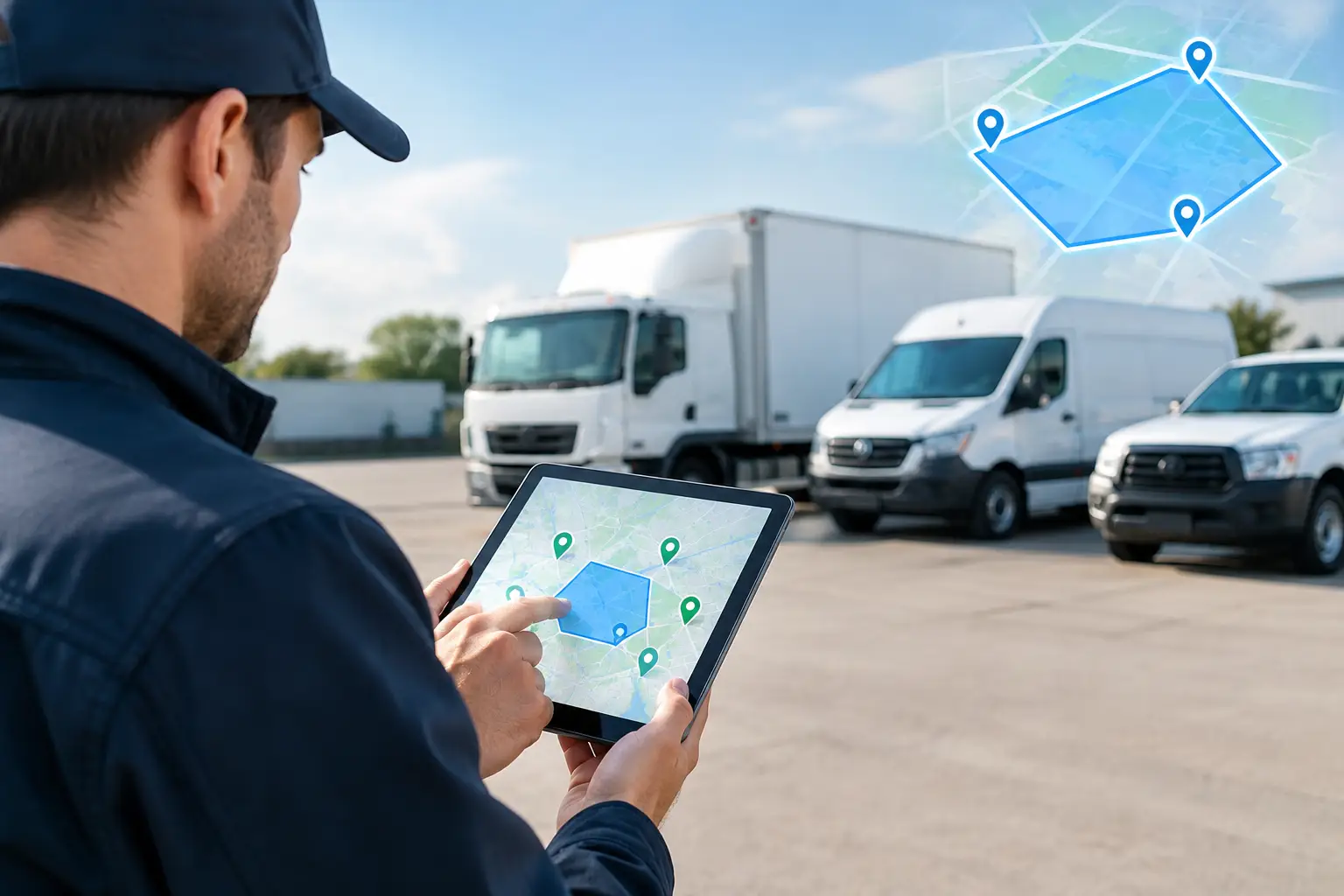
A vehicle arriving at the wrong depot, a plant item leaving a worksite after hours, or a concrete agitator waiting too long at a customer site can quickly become a cost, safety or service issue. This fleet geofencing guide explains how fleet operators can turn GPS location data into clear operational controls, without creating an alert stream nobody has time to manage.
Geofencing works best when it reflects the way your operation actually runs. For transport, construction, waste, concrete and government fleets, that means connecting locations to dispatch, site access, fatigue, asset security, customer service and compliance records.
What fleet geofencing does
A geofence is a virtual boundary placed on a digital map. When a tracked vehicle, trailer, plant item or other asset enters, exits or remains within that boundary, the fleet platform can record the event or send an alert.
The boundary may be a radius around a point, a custom shape around a depot, or a corridor along an approved route. The right approach depends on the site and the outcome required. A 200-metre radius may be sufficient for a regional customer location, while a busy concrete plant, landfill or construction site may need a carefully drawn polygon to distinguish the gate, loading area and neighbouring roads.
Location events become useful when they answer an operational question. Did the truck arrive within the booked window? Has the excavator left the project boundary? Is a waste collection vehicle spending longer than expected at a transfer station? Has a driver entered a restricted area?
Where geofencing delivers practical value
For many fleets, the immediate benefit is accurate time and location evidence. Rather than relying on handwritten arrival times, manual phone calls or assumptions based on schedules, managers can see when an asset crossed a defined boundary. This supports better customer communication, job costing and exception management.
Depot and yard control
Depots are often the best place to begin. Entry and exit records can help verify shift start and finish times, identify unauthorised after-hours movements and provide a clearer view of vehicle utilisation. For fleets with trailers, plant and shared vehicles, yard geofences can also show whether critical assets have returned as expected.
Geofencing is not a replacement for access control or a physical security response. GPS accuracy, signal conditions and reporting intervals all affect the timing of an event. It is, however, a valuable additional layer of visibility, especially when paired with ignition status, driver identification and after-hours movement alerts.
Customer, delivery and service locations
A customer-site geofence can automatically create an arrival and departure record. For dispatch teams, this reduces the time spent checking vehicle positions and calling drivers for updates. For customers, it provides more defensible information when delivery timing is disputed.
In concrete and aggregate operations, dwell time at plants, projects and washout locations can reveal bottlenecks that do not appear in a daily run sheet. A short delay may be normal. Repeated delays at one location may point to access constraints, poor booking practices or an issue with loading and unloading coordination.
Worksites and plant security
Construction and plant hire businesses often manage high-value equipment across changing sites. Geofences can trigger an alert when a machine moves beyond the approved work area, particularly outside rostered hours. This allows the team to investigate promptly rather than discovering a movement at the next scheduled check.
The zone should account for how equipment is transported and stored. A tight boundary around a machine that is routinely moved within a large site will create unnecessary alerts. A broader site boundary, combined with an after-hours rule and an alert for movement without authorised transport activity, is usually more workable.
Route and restricted-area management
Route geofences can help identify whether vehicles enter prohibited roads, low-clearance areas, customer exclusions or defined heavy-vehicle routes. They are particularly useful where a diversion creates a safety concern, a compliance exposure or a material increase in travel time.
This needs careful handling. A route deviation is not automatically driver misconduct. Road closures, incidents, site instructions and missed turns happen. The purpose is to identify exceptions early, understand their cause and improve route planning or driver guidance where needed.
How to build a fleet geofencing plan
Start with a small number of high-value locations rather than mapping every stop from day one. The strongest first use cases are generally locations where delays, unauthorised movement or poor visibility already create a measurable problem.
Define the decision behind each alert
Before creating a geofence, document what action will follow an entry, exit or dwell event. If there is no clear action, an alert is likely to become background noise.
For example, an after-hours exit from a depot may require the duty manager to confirm the movement with the driver or supervisor. A vehicle remaining at a customer site beyond a defined threshold may prompt dispatch to check whether unloading has been delayed. This simple discipline keeps the configuration focused on operational outcomes.
Match the boundary to the physical environment
Use a radius where the location is simple and there is enough separation from nearby roads or businesses. Use a custom shape where accuracy matters, such as a depot with multiple entrances, a congested industrial estate or a project with adjacent work zones.
Avoid setting boundaries too tightly. GPS location can vary due to satellite visibility, vehicle position, urban structures and device reporting frequency. A boundary that sits exactly on a gate line can produce inconsistent entry and exit records. Build in a sensible buffer, then test it using real vehicle movements.
Set realistic dwell thresholds
Dwell alerts are useful for finding delays, but only when the threshold reflects actual work. A five-minute trigger at a busy tip, quarry or loading point may be meaningless. Review historical activity and ask site supervisors what a normal turnaround looks like by time of day.
Different vehicle types may need different rules. A rigid delivery truck, an agitator and a heavy combination may all have legitimate reasons for different dwell times at the same site.
Assign ownership and escalation
Every alert category needs an owner. Dispatch may handle customer-site dwell events, while fleet maintenance or security manages unauthorised asset movement. Safety teams may review restricted-area events, particularly where they indicate a repeat pattern.
Make escalation proportional to the risk. An after-hours movement from a high-value plant compound may justify an immediate phone call. A minor route exception may be better reviewed in a weekly operations meeting. Treating every alert as urgent is one of the fastest ways to lose confidence in the system.
Reporting turns events into improvement
Individual alerts support immediate action. Reporting identifies the trends behind them. Review arrival performance, dwell time, repeated route exceptions, depot exit patterns and out-of-hours movements by vehicle, driver, customer or region.
The value is not in generating more reports. It is in comparing planned activity with actual activity and making a practical change. That may mean adjusting a booking window, changing a route, moving a service vehicle closer to demand, improving site instructions or addressing a recurring driver coaching need.
For compliance-focused operations, geofence records can also strengthen audit evidence when used alongside driver identification, electronic work diary data, pre-start checks and vehicle telemetry. They provide context, but they should not be treated as the only source of proof. A complete compliance workflow needs reliable records, defined processes and consistent review.
Common geofencing mistakes to avoid
The most common mistake is creating too many zones and alerts before the team has established a response process. Start with depots, key customer locations, high-risk worksites and restricted areas. Expand once the alert quality is proven.
Another issue is treating geofencing as a surveillance tool rather than an operational control. Drivers and supervisors are more likely to support the program when its purpose is clear: safer site access, quicker dispatch decisions, better customer information and protection of vehicles and equipment.
It is also worth checking the data foundation. Geofence outcomes depend on correctly installed hardware, suitable reporting intervals, reliable asset names and current vehicle-to-driver assignments. An integrated platform reduces the risk of location, safety and compliance data being managed in disconnected systems. Netcorp supports this approach with Australian-designed hardware and a locally supported fleet platform for complex operations.
Build confidence before scaling
Run a pilot with a defined set of vehicles and locations for several weeks. Compare geofence events with dispatch records and on-site knowledge. Adjust boundary sizes, alert schedules and dwell thresholds until the results reflect reality.
Once the rules are trusted, geofencing becomes more than a dot on a map. It gives operations teams a practical way to verify activity, respond to exceptions and make each vehicle, driver and asset easier to manage.