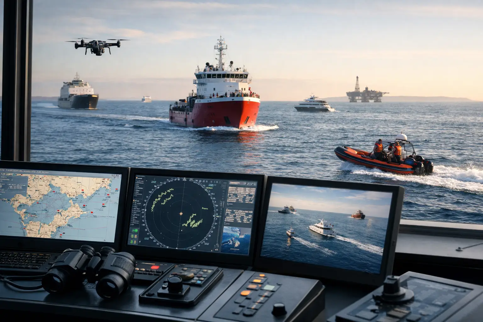
A marine vessel tracking system is not simply a dot on a map. For marine operators, it is the operational record of where a vessel has been, what it was doing, whether it is available for its next task and how quickly a team can respond when plans change. For businesses managing workboats, ferries, survey vessels, barges, support craft or marine plant, that visibility can reduce avoidable downtime and give supervisors clearer control over dispersed operations.
The value is strongest when tracking is treated as part of the wider operating system, rather than an isolated navigation tool. Position data should support dispatch, maintenance planning, safety processes, asset utilisation and accountable customer reporting. The right setup depends on vessel type, operating area, communications coverage and the decisions your team needs to make from the data.
What a marine vessel tracking system should deliver
At a minimum, a tracking system should provide reliable vessel location, historical route playback and clear status reporting through a central fleet platform. Location is useful, but it becomes operationally valuable when the platform can show movement patterns, time at site, engine activity, geofence events and exceptions requiring attention.
For a manager coordinating multiple vessels, live visibility helps answer practical questions without a stream of phone calls: Which vessel is closest to the job? Has the crew departed? How long has the vessel been stationary? Did it enter a restricted zone? Is a support vessel returning to base as scheduled?
A well-configured system also retains a defensible activity history. This matters when investigating incidents, resolving customer queries, validating service times or reviewing whether a vessel was available and used as planned. The quality of that record depends on the hardware installation, reporting frequency and communications method, not just the software screen.
GPS tracking and AIS serve different purposes
GPS fleet tracking and Automatic Identification System, or AIS, are often discussed together, but they are not interchangeable. AIS is designed to broadcast and receive vessel information for maritime awareness. Depending on vessel class and operating requirements, it may be essential for navigation and visibility to other vessels.
Fleet GPS tracking is designed around operational management. It can capture location and activity data for internal reporting, apply geofences around depots, wharves and work zones, and provide alerts that suit the organisation's workflows. It may also support connected inputs from engines, pumps, equipment or safety devices.
Many operations benefit from both. AIS can assist with maritime situational awareness, while a fleet platform gives managers a controlled operational view of their own vessels and assets. The correct approach should be assessed against applicable maritime requirements, the vessel's work profile and the information the business needs to retain.
Start with the decisions your team must make
The best marine tracking deployments begin with operating questions, not a hardware catalogue. A harbour service operator may need to verify arrival and departure times across multiple locations. A construction contractor may need to understand barge utilisation, equipment movement and access to marine work sites. A tourism or passenger operation may prioritise departure monitoring, route compliance and rapid communication during disruption.
Define the events that should create action. Examples include unauthorised movement outside rostered hours, a vessel leaving a designated operating area, extended idling, late return to berth or loss of communications. Alerts should be limited to events that somebody is responsible for managing. Too many notifications create noise, and critical exceptions are more easily missed.
It is equally useful to decide what a normal operating day looks like. Once standard routes, service windows and work zones are documented, reporting can identify genuine variation rather than treating every deviation as a problem. This is where tracking becomes a management tool rather than a passive record.
Coverage and communications need careful planning
Marine conditions create communications challenges that do not apply to road fleets. Mobile coverage may be adequate around ports, rivers and coastal routes, then disappear beyond shore or in remote working areas. A system that performs well at the wharf may not meet requirements offshore.
The communications design should match the vessel's operating range. Cellular connectivity can be cost-effective where coverage is dependable. Satellite or other long-range communications may be necessary for remote routes, although they can change hardware, installation and data-cost considerations. Some operations use a combination, allowing the device to use the most practical available connection.
Reporting intervals also involve a trade-off. More frequent location updates can improve live oversight and incident response, but they use more data and may not add value for a vessel that is stationary at berth. A competent provider will configure reporting rules around movement, ignition or engine state, geofence events and communications availability, rather than applying one setting to every asset.
Hardware must suit the marine environment
Marine tracking hardware needs to withstand vibration, moisture, corrosion risk and variable power conditions. Installation quality is as important as device selection. Poorly protected wiring, unreliable power connections or antenna placement issues can leave the business with gaps in reporting at precisely the wrong time.
Choose equipment that is suitable for the vessel environment and can be professionally installed without interfering with existing electrical or navigation systems. Consider whether the device needs backup power, external antennas, water-resistant enclosures or additional inputs for engine hours, bilge alarms, pump status, doors, winches or connected plant.
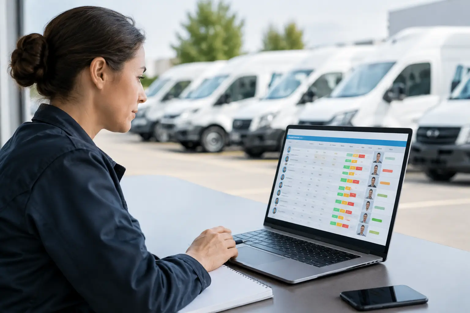
For organisations with mixed assets, consistency matters. A single platform that tracks vessels alongside utes, heavy vehicles, trailers, plant and machinery gives operations teams a more complete view of jobs that move between land and water. It also reduces the administrative burden of maintaining separate logins, data exports and support arrangements.
Turn location data into measurable operating control
The clearest return from tracking usually comes from changing a routine, not from viewing a map more often. Geofences can automate arrival and departure records at depots, wharves, loading points and work sites. That can improve job-time validation and reduce manual paperwork where crews currently record movements by hand.
Historical route and activity data can reveal recurring delays, extended waiting time and underused assets. In a marine operation, those patterns may be caused by berth congestion, crew scheduling, weather windows, inefficient task allocation or maintenance constraints. Tracking data will not explain every cause on its own, but it gives managers a credible starting point for investigation.
Maintenance planning also benefits from reliable engine-hour and utilisation data. A vessel that has travelled fewer kilometres than a road vehicle may still accumulate substantial engine time. Recording actual operating hours supports service scheduling and reduces the risk of maintenance being managed from estimates, incomplete paper records or delayed crew updates.
Safety benefits should be approached realistically. Tracking is not a substitute for vessel maintenance, crew competence, marine communications procedures or emergency plans. It does, however, provide timely information that can help a control room identify a missed check-in, confirm last known location or coordinate a response when an event occurs.
Protect the data and make it usable
Marine tracking can create sensitive operational data, including vessel movements, customer locations, crew work patterns and asset availability. Security should be considered at procurement, not after rollout. Ask how user access is controlled, where data is stored, how platform availability is supported and what happens when hardware or communications fail.
Clear role-based access helps ensure dispatchers, managers, maintenance personnel and executives see the information relevant to their responsibilities. It also protects the integrity of the system. If everyone can alter geofences, device settings or reporting rules, the organisation can lose confidence in the records it relies on.
The platform should make reporting straightforward for the people who use it. Fleet managers may require exception reports and utilisation trends, while supervisors may need a live operations screen. Senior leaders often need concise evidence of asset use, service delivery and avoidable downtime. A system that requires specialist effort to produce ordinary reports will eventually be underused.
Selecting a provider for long-term support
Marine tracking is an ongoing operational capability, not a once-off purchase. Before selecting a provider, assess its capacity to supply suitable hardware, manage deployment, configure the platform and provide responsive technical support once vessels are in service. The handover between hardware supplier, installer, software vendor and support desk is where fragmented solutions often create delays.
Australian operators should also consider local knowledge, support availability and the provider's experience with mixed fleet environments. Netcorp Australia delivers in-house designed tracking hardware and fleet technology backed by a Sydney-based team, giving organisations one point of responsibility across vehicles, plant, trailers and marine assets.
A practical pilot can be valuable before a broader rollout. Test the device in actual operating conditions, validate communications coverage, check the accuracy of geofence events and involve the people who will act on alerts. The goal is not to prove that the map works. It is to confirm that the information improves daily decisions without adding unnecessary work for crews or supervisors.
The strongest marine tracking programs are built around a simple principle: collect data only when it supports a safer, faster or more accountable decision. When the platform, hardware and operating process are aligned, vessel visibility becomes a dependable part of how work gets done.